



Newsletter Subscribe
Enter your email address below and subscribe to our newsletter

Ideas Worth Building
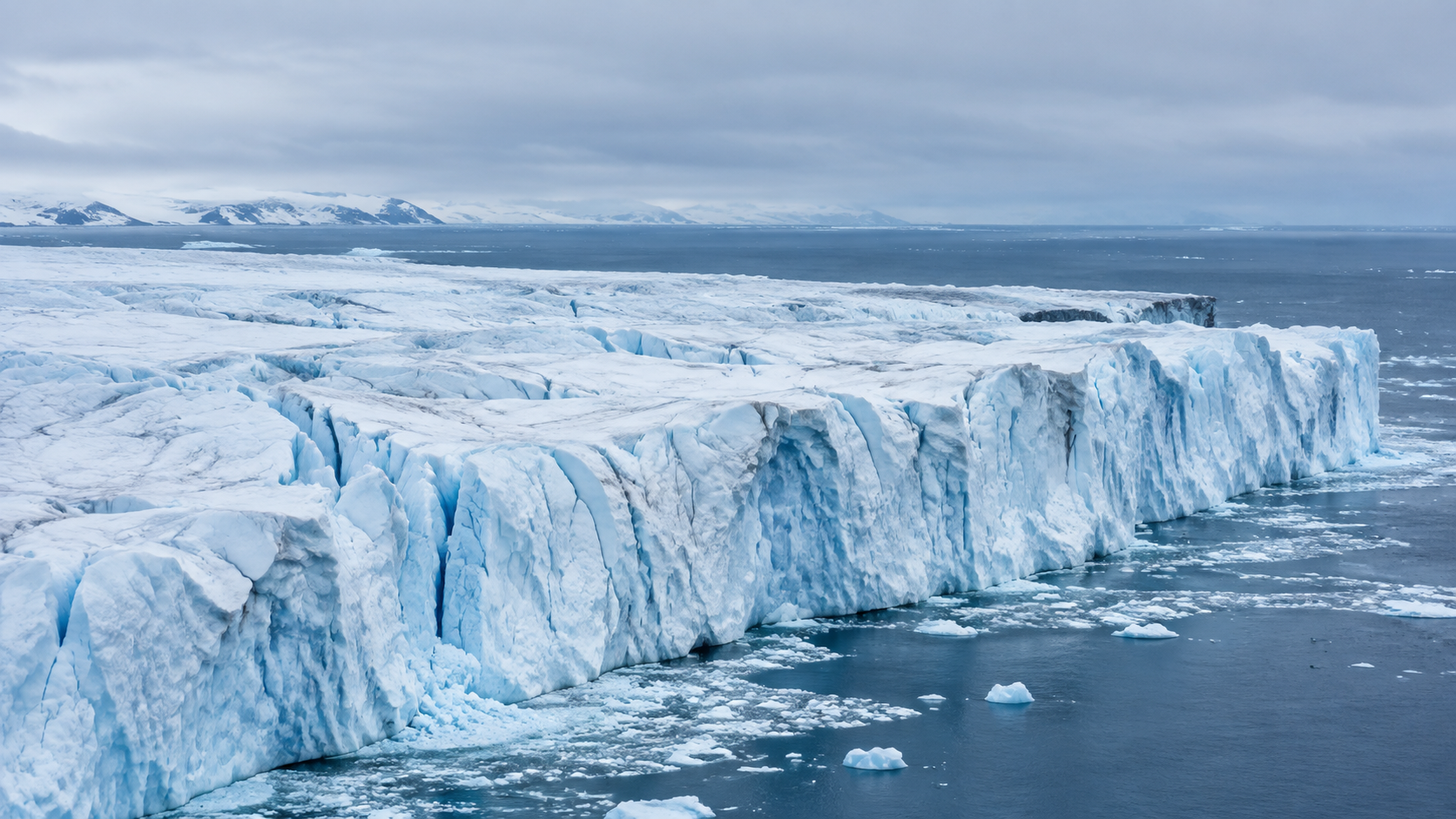
A major study finds Greenland and Antarctica have lost more than 12 trillion tonnes of ice since 1979, with polar ice loss accelerating in the 1990s. The trend matters for climate projections, glacier melt research, and global sea level rise.
Greenland and Antarctica have lost more than 12 trillion tonnes of ice since 1979, according to a scientific study summarized by Euronews, with polar ice loss beginning to accelerate in the 1990s.
The finding adds long-term context to one of the clearest physical indicators of climate change: the loss of ice from Earth’s polar regions. For researchers, the significance is not only the scale of the loss, but the timing. A shift toward faster losses in the 1990s suggests that the cryosphere — the planet’s frozen water systems — has been responding to sustained warming for decades, not only to recent extreme melt seasons.
The results are especially important because ice loss from Greenland, Antarctica, and glaciers directly affects global sea level rise when the ice is grounded on land and flows or melts into the ocean.
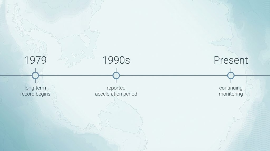
The study’s headline finding is stark: more than 12 trillion tonnes of ice have been lost from Greenland and Antarctica since 1979. The research also identifies an acceleration beginning in the 1990s, indicating that annual losses increased after the early part of the satellite-observation era.
That distinction matters. A single large melt year can draw public attention, but long-term acceleration is more useful for climate science. It helps researchers separate short-term variability from sustained change and improves projections of future sea level contribution.
In this context, “polar ice loss” refers to the reduction of ice mass in polar regions, including major ice sheets and glacier systems. The most consequential category for sea level rise is land ice: ice resting on bedrock, such as the Greenland Ice Sheet, the Antarctic Ice Sheet, and many glaciers. When land ice melts or calves into the ocean, it adds water to the sea.
Sea ice, by contrast, is already floating. Its decline is climatically important because it changes reflectivity, ocean-atmosphere exchange, and regional ecosystems, but melting floating sea ice has a much smaller direct effect on sea level than melting land ice.
The acceleration reported in the study places the transition in a period when global warming signals were becoming increasingly apparent across multiple climate systems. For ice-sheet researchers, the 1990s are important because they mark the point at which observational records increasingly show the polar regions moving away from relative stability toward sustained mass loss.
Acceleration means the rate of ice loss is increasing over time. In practical terms, losing the same amount of ice every year would be serious; losing more ice each decade changes the scale of future risk. It affects how scientists estimate future ocean height, how often coastal flooding may occur, and how much uncertainty remains in long-range climate projections.
The finding also helps frame Greenland ice loss and Antarctica ice loss as related but distinct parts of the same global problem. Greenland is highly sensitive to surface melting during warm summers, while Antarctica’s losses are often closely tied to glacier flow, ice-shelf thinning, and interactions between ice and warming ocean water. Both systems can contribute to sea level rise, but they do not always respond in the same way or on the same timeline.
Long-term ice-loss estimates are built by comparing ice mass through time. Modern polar research commonly relies on several types of evidence, including satellite observations, elevation measurements, gravity-based measurements of mass change, airborne surveys, field observations, and climate or ice-sheet models.
Each method has strengths and limitations. Elevation change can show where the ice surface is lowering or thickening. Gravity measurements can detect large-scale changes in mass. Models can help separate snowfall variability from long-term melt and ice discharge. Combining multiple approaches improves confidence in the overall trend.
The original peer-reviewed study should be consulted for the specific data sets, methods, uncertainty ranges, and regional breakdowns behind the 12-trillion-tonne estimate. Those methodological details are essential for researchers evaluating how the result fits with existing assessments of glacier melt, ice-sheet dynamics, and sea level contribution.
The main public consequence of sustained polar ice loss is sea level rise. When glaciers and ice sheets lose land ice to the ocean, global mean sea level increases. That rise is not evenly distributed everywhere, but it raises the baseline from which storm surge, tidal flooding, and coastal erosion occur.
For coastal communities, even incremental sea level rise can increase the frequency of damaging floods. For climate modelers, the challenge is translating observed ice loss acceleration into better projections of future change. Ice sheets can respond slowly in some regions and rapidly in others, especially where warming ocean water affects glacier fronts or ice shelves that help restrain inland ice flow.
The study reinforces why Greenland, Antarctica, and polar glaciers are central to climate monitoring. They are not only symbols of climate change; they are active contributors to one of its most consequential impacts.
The reported loss of more than 12 trillion tonnes of ice since 1979, with acceleration beginning in the 1990s, points to a long-running shift in Earth’s polar regions. The finding is not about one anomalous season. It is about a multi-decade trend with direct relevance for sea level rise, coastal risk, and the reliability of climate projections.
Continued monitoring of polar ice loss is therefore essential. Better observations, longer records, and transparent methods will help researchers refine estimates of ice loss acceleration and improve understanding of future sea level change.
Read the Research: Review the original peer-reviewed study and supporting climate science assessments for full methodology, uncertainty ranges, and regional results.